
Engineering Surveys
Home – Engineering Surveys
- Services
Engineering Surveys
Precise surveys support planning, design, and construction accuracy.
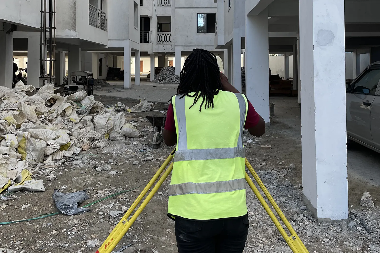
Scope of Services
Our engineering surveys use tools such as a Total Station, RTK GPS, Dumpy Level and Handheld GPS. We are always open to listen to client requirements to find out what mix of services would serve them best.
Deep Foundation Testing - Key Services:
- Total Station
- RTK GPS
- Dumpy Level
- Handheld GPS
Our Approach
We apply proven construction methodologies, disciplined scheduling, and experienced supervision to ensure on-time delivery and consistent build quality.
Quality & Safety
All works follow certified quality assurance systems and comprehensive safety protocols to minimize risk and ensure long-term durability.
- Engineering Surveys
1. Total Station
- Use: Measures angles and distances with high precision for topographic and cadastral surveys.
- Procedure: Set up over known points, measures angles/distances electronically.
- Equipment: Total station
2. RTK GPS
- Use: Provides real-time centimeter-level accurate positioning for large-scale mapping and layout.
- Procedure: Rover unit receives corrections from fixed base station via radio or cellular.
- Equipment: RTK GPS rover and base station.
3. Dumpy Level
- Use: Measures vertical elevations for leveling and grading.
- Procedure: Instrument leveled on tripod; readings taken on leveling staff at survey points.
- Equipment: Dumpy level, leveling staff, tripod.
4. Handheld GPS
- Use: Provides meter-level positional data for reconnaissance and preliminary mapping.
- Procedure: Handheld device receives satellite signals to provide coordinates.
- Equipment: Handheld GPS unit.