
Geophysical Surveys
Home – Geophysical Surveys
- Services
Geophysical Surveys
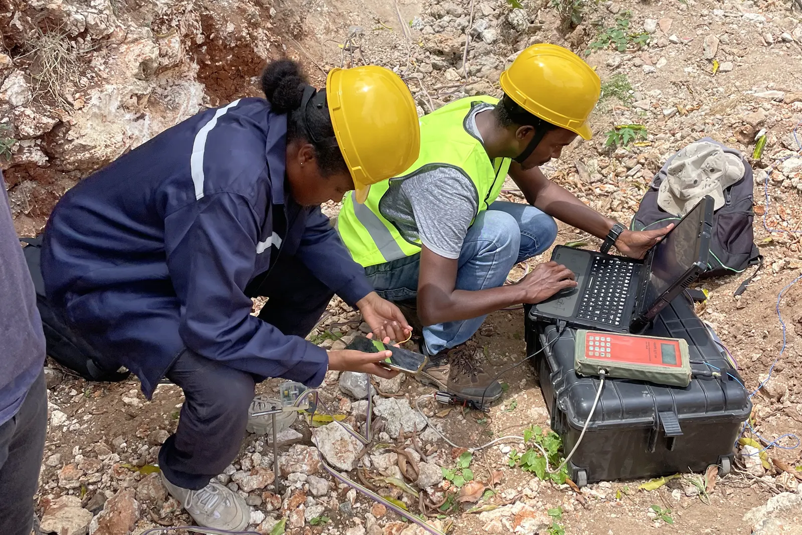
Our geophysical surveys provide a non-invasive method to investigate subsurface conditions, minimizing the need for extensive drilling especially in locations where rig drilling is impractical or could cause disturbance to existing structures or generate excessive noise
Scope of Services
Our geophysical surveys include Electrical Resistivity Tomography(ERT), Multichannel Analysis of Surface Waves (MASW), and Ground Penetrating Radar (GPR). We are always open to listen to client requirements to find out what mix of services would serve them best.
Geophysical Surveys - Key Services:
- Electrical Resistivity Tomography (ERT)
- Multichannel Analysis of Surface Waves (MASW)
- Ground Penetrating Radar (GPR)
Our Approach
We apply proven construction methodologies, disciplined scheduling, and experienced supervision to ensure on-time delivery and consistent build quality.
Quality & Safety
All works follow certified quality assurance systems and comprehensive safety protocols to minimize risk and ensure long-term durability.
- Geophysical Surveys
1. Electrical Resistivity Tomography (ERT)
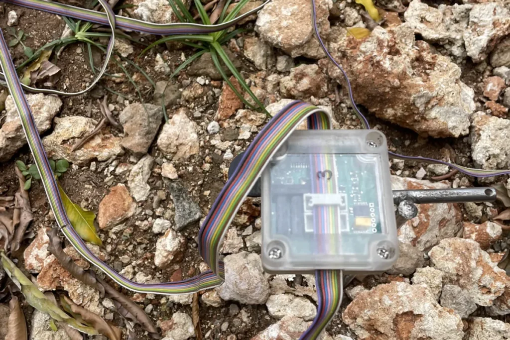
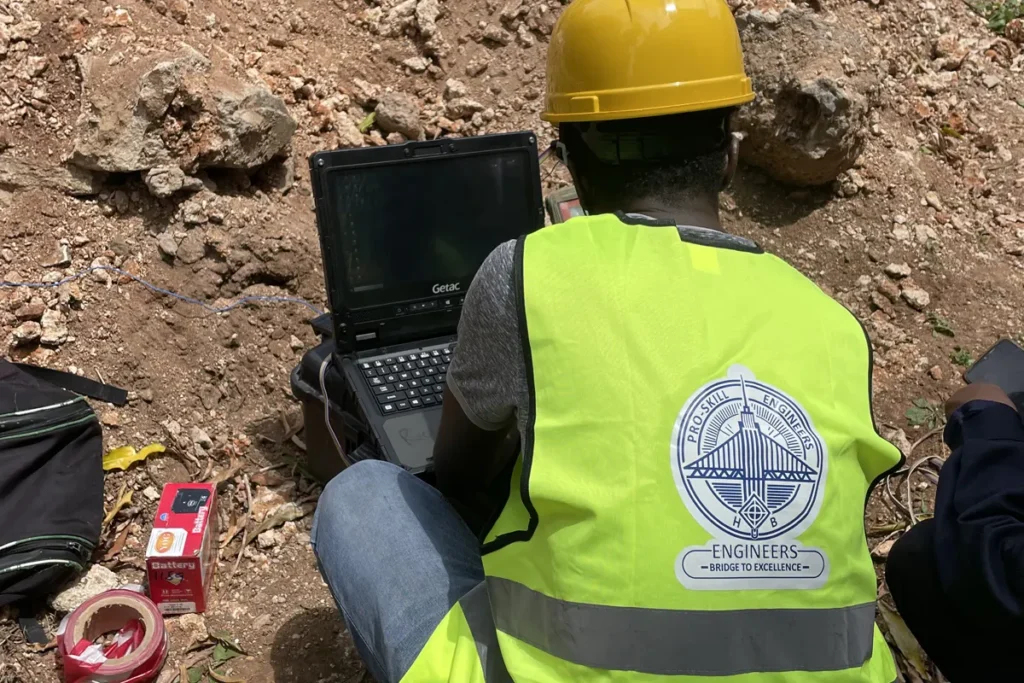
Fig: Electrical Resistivity Tomography at Caral Sands , Nyali in May 2025
Electrical Resistivity Tomography (ERT) is a geophysical method used to map variations in subsurface resistivity, which helps identify different soil types, groundwater presence, geological faults, and voids. During the procedure, electrodes are systematically placed along the ground surface to inject electrical currents into the subsurface. Voltage differences are then measured between electrodes, allowing the generation of detailed two-dimensional or three-dimensional resistivity images. The key equipment involved includes a resistivity meter, electrodes, connecting cables, and a data acquisition system. The resulting resistivity cross-sections provide valuable insights into geological layering, groundwater distribution, and potential anomalies, which are essential for geotechnical design and hazard assessment.
2. Multichannel Analysis of Surface Waves (MASW)
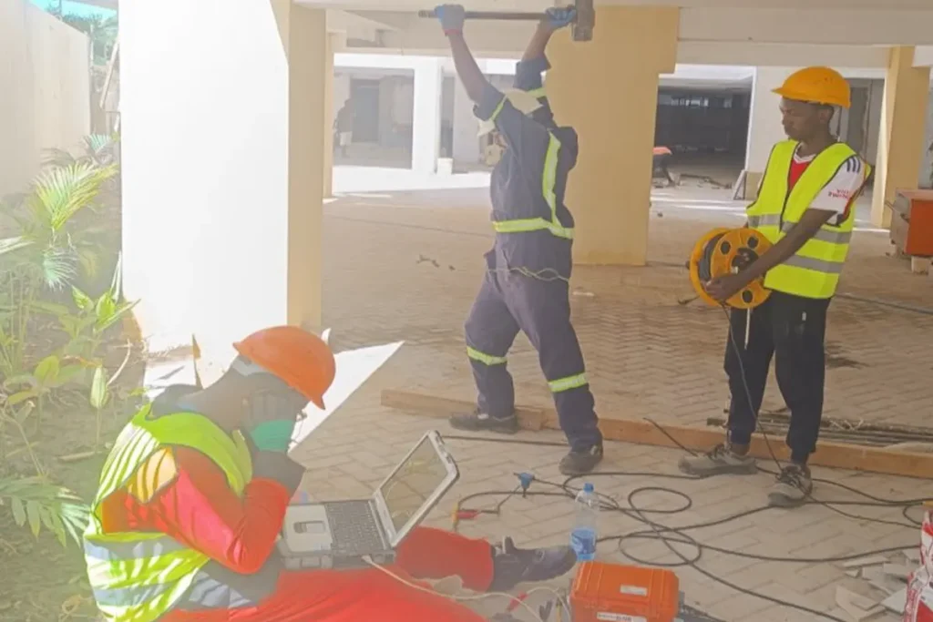
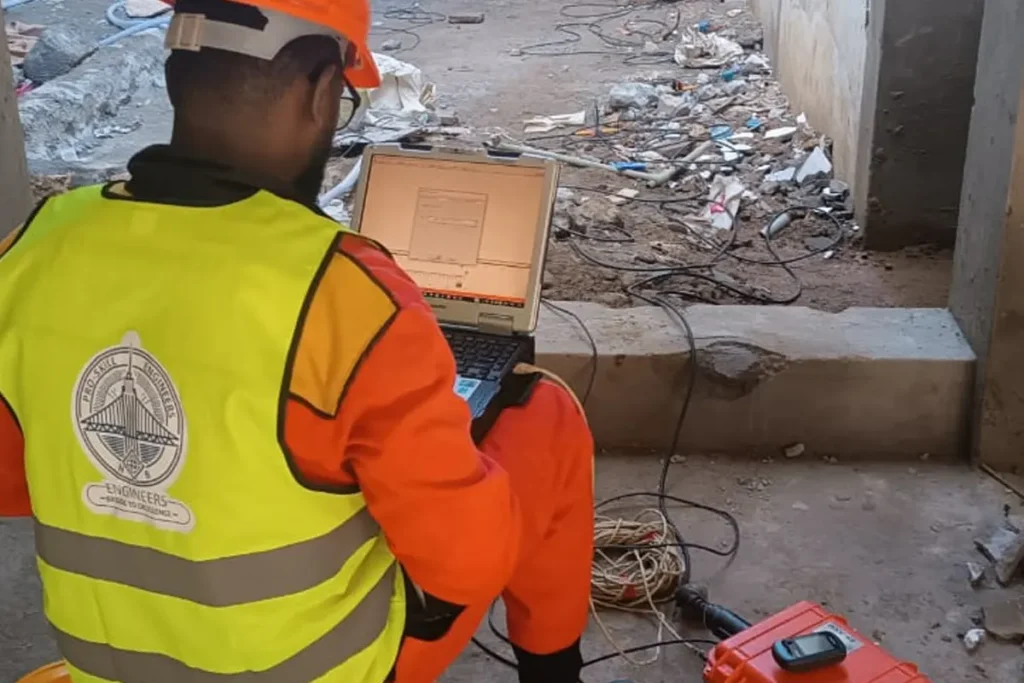
Fig: Multi Channel Analysis of surface waves in Coral Sands Nyali in May 2025
Multichannel Analysis of Surface Waves (MASW) is a geophysical technique used to determine shear wave velocity profiles, which are critical for assessing soil stiffness and seismic site classification. The method involves generating surface waves by striking the ground with a sledgehammer or weight drop, while an array of geophones records the wave propagation. The collected data is processed using specialized software to derive the variation of shear wave velocity with depth. Essential equipment includes the impact source, geophones, a seismograph, and data processing tools. The resulting shear velocity profiles and stiffness maps provide valuable information that supports earthquake-resistant design and site characterization.
3. Ground Penetrating Radar (GPR)
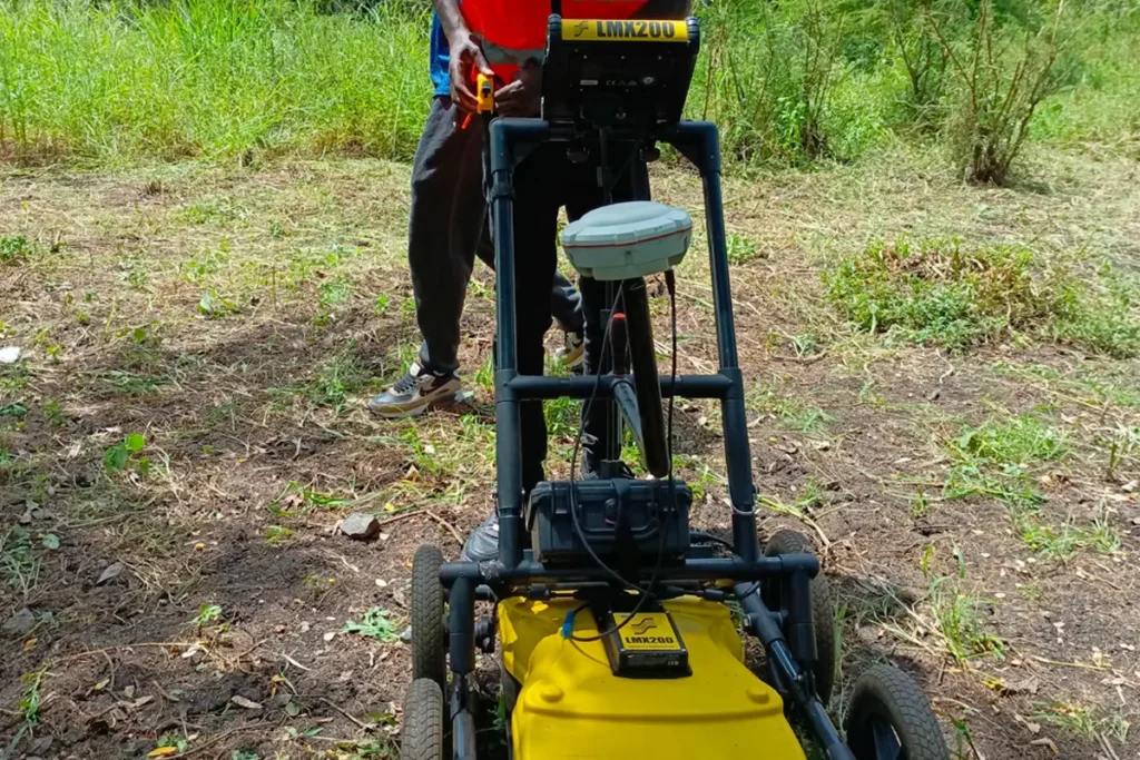
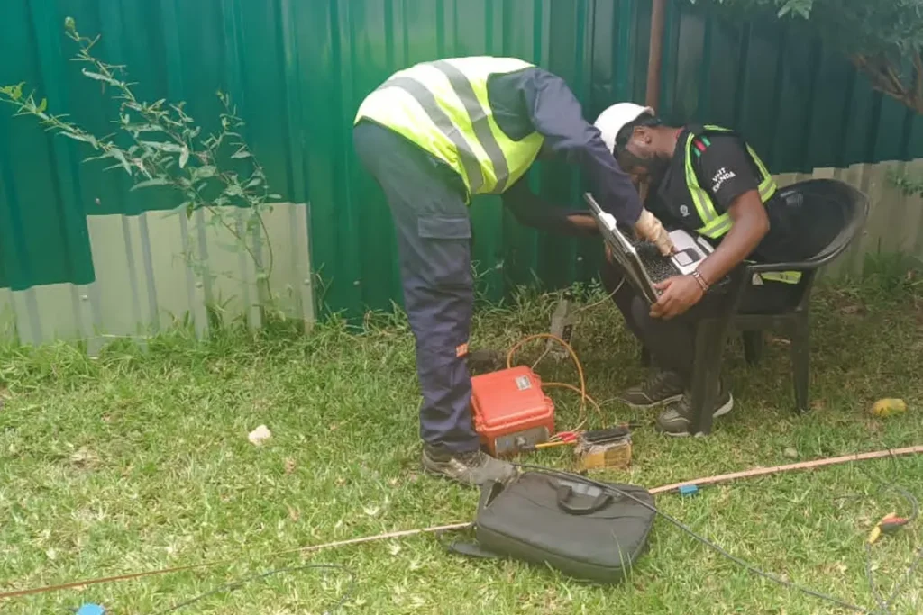
Fig: Image Description
Ground Penetrating Radar (GPR) is used to detect shallow subsurface features such as utilities, voids, and buried objects. The technique involves transmitting radar pulses into the ground and recording the reflected signals to generate radargrams that visualize subsurface conditions. The equipment consists of a GPR system equipped with antennas and GPS for precise positioning. The resulting radar profiles help identify anomalies, providing crucial information for construction planning and enhancing site safety.